
This map set is meant to convey global issues through contrast and comical messaging. Frankly, appealing to their sense of humor may be the best way, if not the only way, to pierce through the thick heads of today’s gamer youth. (Okay, there are some pretty sharp gamers out there, and maybe I’m jaded because I’m still stuck in 8-bit.)
As is so often the case, two competing views can both be valid. By example, the two issues in balance here are the right to engage in cultural hunting practices and the humane treatment of aquatic life (namely, whales and dolphins). Of course, there is almost always more than two sides to any complex issue. In Japan, there is a longstanding whaling industry that is concerned with not only the economic impact of bans on commercial whaling, but with the ongoing decline in whale consumption among the Japanese people. And the Japanese government is interested in its national autonomy, which often has come into conflict with the International Whaling Commission’s (IWC’s) interest in regulating the global management of aquatic resources.
These maps hardly strike a balance between the viewpoints in issue, even as I made the effort to acknowledge a range of interests. By parodying the Street Fighter theme and using elements such as the bloody vignette, this map leans more towards the shaming of the whaling industry. While shaming is often an effective method of getting others to behave in a certain way (for better or worse), Japan’s 2019 withdrawal from the IWC shows that shaming can be ineffective and have unintended consequences.
These maps play off of the Street Fighter franchise, developed by Japanese video game company, Capcom. I couldn’t help but juxtapose the 8-bit video game style of the 1990’s with the flashy high definition games that dominate today’s market. #EHonda


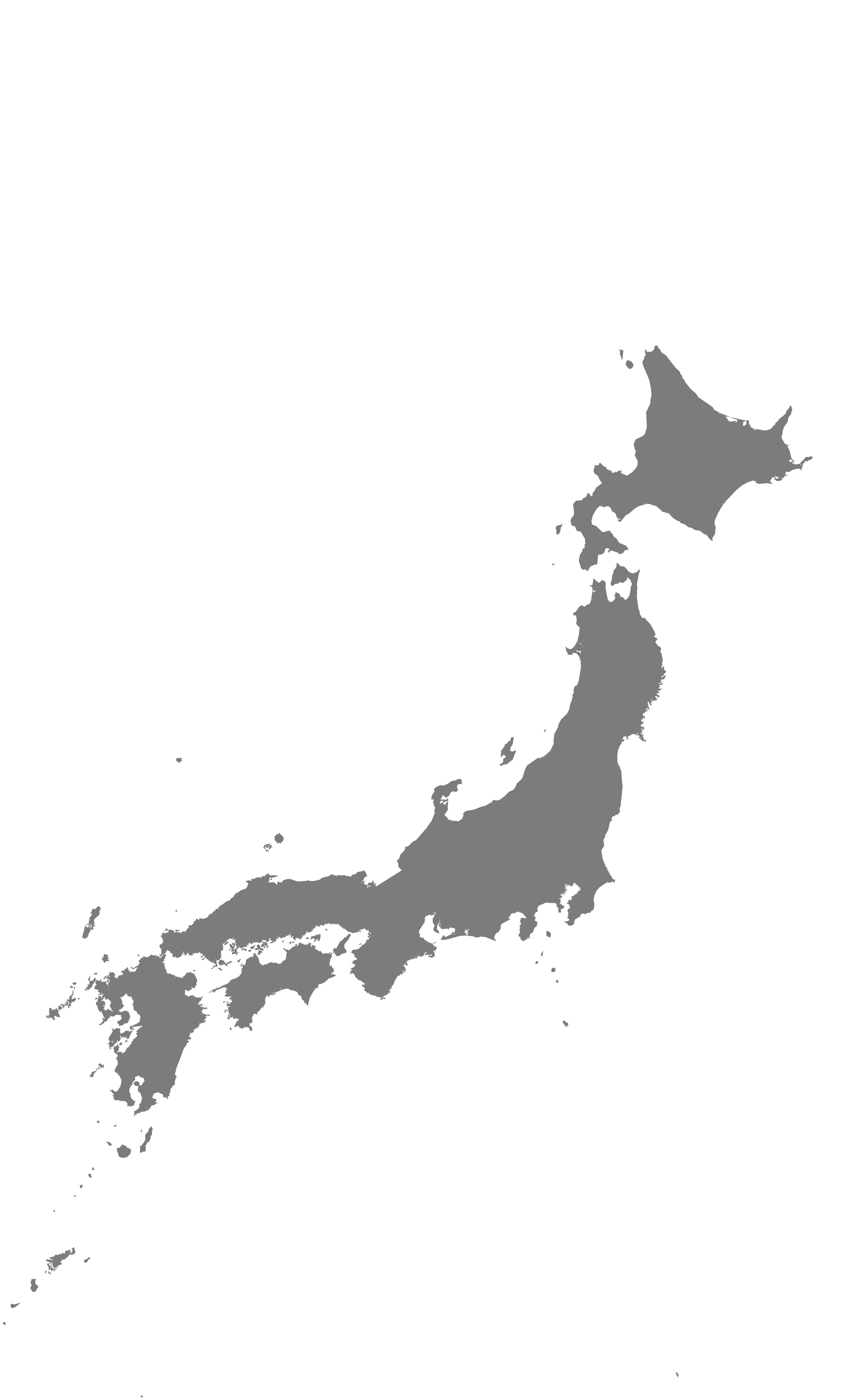
The underlying cartographic task was to generalize the administrative boundaries of a large land mass. I opted to use Japan for the project, given its alluring curves and shape.
ArcMap Process: The first step was to acquire a shapefile representing Japan, set the map size and extent in ArcMap, throw in a scale bar, and export a file in Adobe Illustrator format.
Advance Cartographic Design Seminar (2016)
Updated – 2021
Maps by Jerry Dinzes
© 2019 – The Official Website for Jerry Dinzes.